Ski trip from Callaghan to Squamish Valley over Pemberton Icecap
Visiting Exodus Glacier was a bit of unfinished business for us. In 2018 we were planning to do a traverse from Dipper Creek to Ring Mountain making a horseshoe around the upper Squamish River but bad weather forced us to turn around at Exodus Peak. So, in late March 2021 we put a team together again and drew another line on the map, this one extending the trip beyond Ring Mountain and into Callaghan Valley.
We also reversed the direction and were now planning to go in from Callaghan Valley (Alexander Falls) over Ring Lake. From there the plan was to ascend towards Little Ring and down onto the Pemberton Icecap, turning towards Exodus Peak at Torah Mountain and and coming out at Dipper Creek. Since these are two vastly distant points on the map the logistics involved a fairly lengthy car shuttle between the entry and exit points. We were able to drive to km 35.5 / 370m altitude on the Squamish Main FSR and parked only about 2 km away from where the Dipper Creek road system connects to Squamish Main.
The calculated length of this traverse was 75 km so we said we’ll need 5 days (but carrying 6 days of fuel and supplies). Since a significant portion of the trip travels over gentle glaciers we decided to pull sleds instead of carrying giant backpacks. In hindsight we’re still split on the smartness of that decision. The weather forecast wasn’t great. One day before departure a storm dumped 40 cm of fresh snow over Whistler and 90 km/h winds redistributed it in thick slabs all over the alpine. Avalanche hazard was of a great concern and so was trail breaking.
Callaghan Valley to Ring Lake
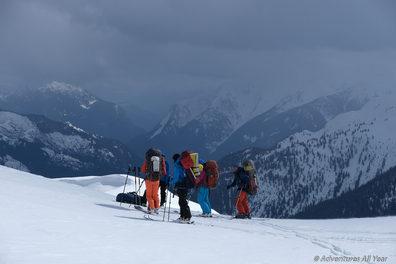
On day 1 and in good spirits seven of us harnessed sleds and started up the Callaghan X-country ski trails towards Conflict Lake. This section was a bit mental as it is some 11 km on dull trails but the vision of a nice camp at Ring Lake kept us going.
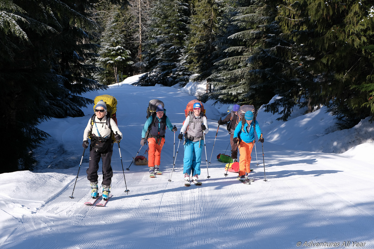
We didn’t realize how much all that fresh snow would be of a problem until we left groomed trails and hit the backcountry. From the flats around Conflict Lake The route ascended sharply and our sleds suddenly became a major hinderance of progress. After much puffing and much later than we anticipated we finally reached Ring Lake. It was tracked all over by snowmobiles, so not quite the pristine wilderness we had in mind, but the silver lining was that we could travel in sled tracks and no longer had to break trail.
Ring Lake to Little Ring Mountain
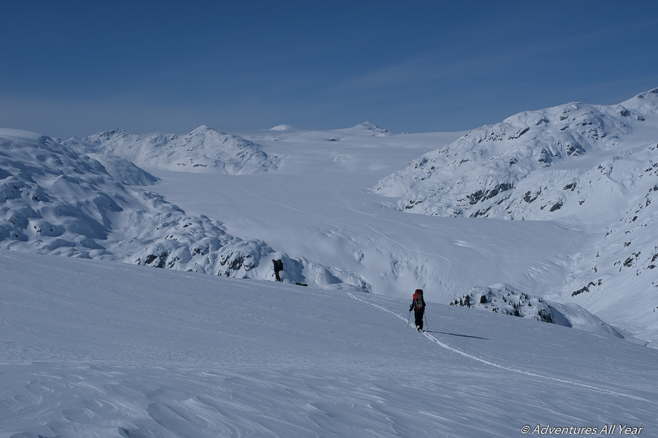
The night was clear and super cold at -22 C, so the going in the morning was slow. We ascended some 200 m vertical to a broad col NE of Ring Lake (and on the shoulder of Ring Mountain) and got our first view of the Pemberton Icecap. The full length of our traverse was right there laid bare in front of us and it was jaw-dropping. It always blows my mind how you can be only 100 km, as the crow flies, away from Vancouver and yet find yourself amidst major icefields as far as the eye can see.
From the col the route descends a fair bit – 300-400 m vertical to a wide bench on the NW side of Ring Mtn. The north-facing slope was deep with all that fresh snow but there were no signs of instability and it skied BEATIFULLY.
The wide bench that we followed extends all the way to Little Ring where we started ascending again to a shoulder running NE off Little Ring. Over the shoulder, another great north-facing run down to the flats at the toe of Squamish Glacier.
Up onto Pemberton Icecap
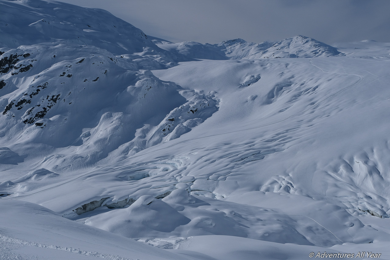
Now, if anyone doubts that glaciers are receding I am asking you to look at the Ryan River topo map and note how far Squamish Glacier is supposed to extend. Then go and have a look at the real thing from that shoulder of Little Ring mountain – some good 2km of the glacier is missing. Thawed out and gone. What’s left behind is 2 km of silty mess and completely broken up snout of the glacier that remains. This snout is heavily crevassed, even after a full season of coastal snowfall. Luckily, it is also quite tracked with snowmobiles so the easiest thing was to travel in one of their tracks and believing that if it held a 300kg sled it will hold a person on skis as well.
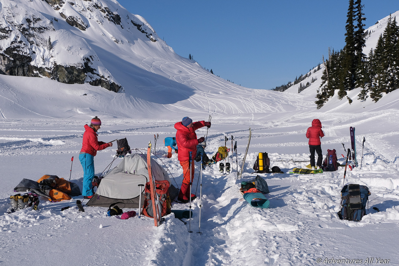
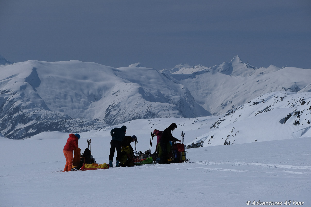
We were quite slow moving, as a group. Maybe it’s our collective age, the weight of the packs, the nuisance of sleds in deep snow or too much picture taking. In any case, today we covered some 15 km, set camp on the Squamish Glacier not too far from its start and were bushed. The following day we’ll need to cover ~20km and 800m vertical if we stand a chance of finishing this traverse.
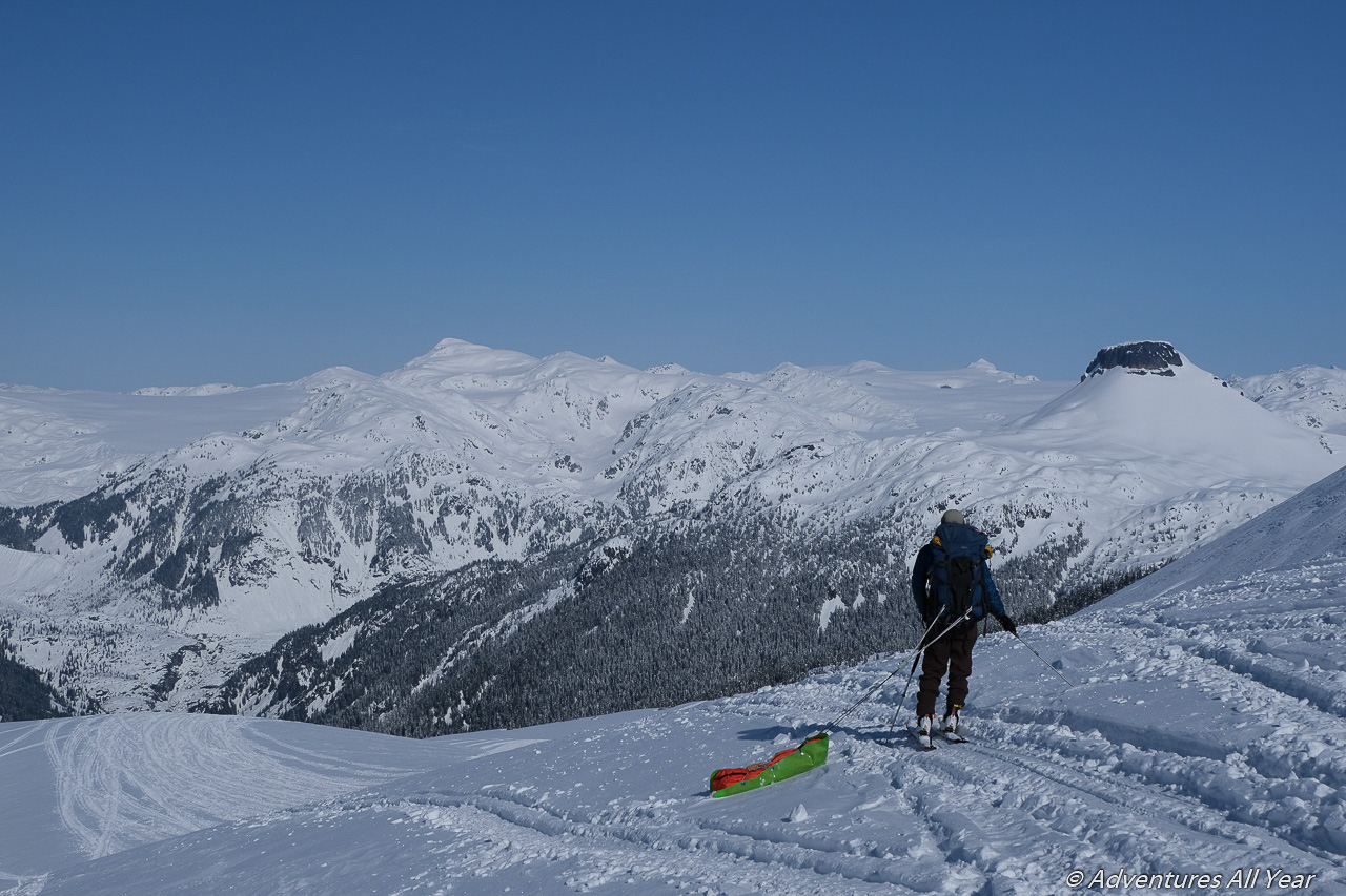
Up Squamish Glacier and towards Exodus Mountain
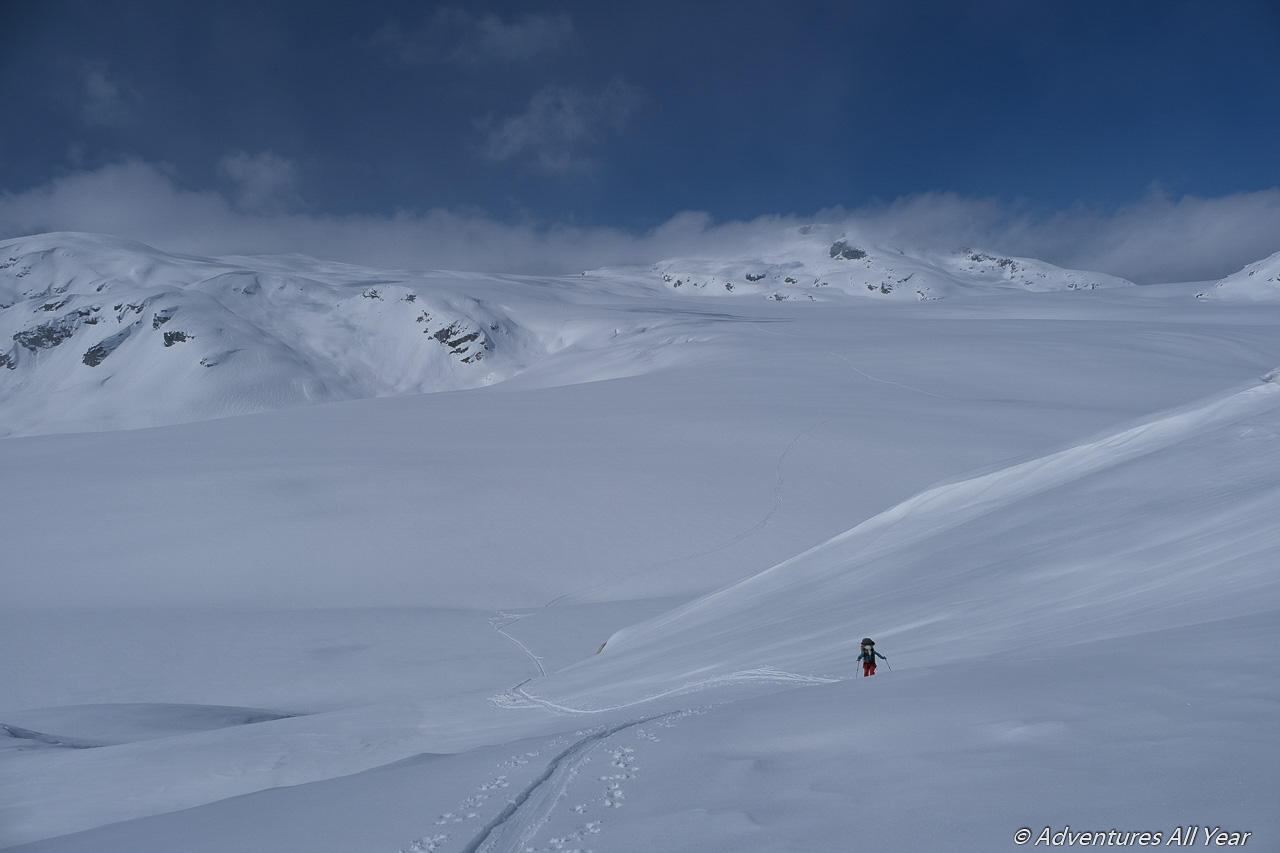
Squamish Glacier is large. The following day we ascended barely noticeably for some 7km to a high col NE of Torah Mountain. The terrain here is rounded and mellow and there are no technical difficulties. There are many mental ones, however. For one, we now have the first glimpse of Exodus Peak and it is still far away. It’s a big white open space up here and distances are greater than they appear. And as a complicated matter we now knew that our weather window was closing in a couple of days.
We minimize breaks and no longer plan to climb peaks. It’s just slogging and slogging until we hit our next camp at the foot of Exodus Peak. If it all sounds like pure drudgery than I have to correct your thinking – the world up there is beautiful beyond words and I absolutely love, love, LOVE this kind of trips. Glaciers are giant highways that give access to places that you wouldn’t be able to travel or even get to in summer.
We made it to our intended milestone at Exodus Peak but only with one hour of daylight to spare. That one hour is spent making camp, eating dinner and readying for another night.
Off the Exodus Glacier and onto Dipper Ridge
The following day the weather finally caught up to us and we wake up to a light snowstorm. The visibility drops to literally just 10 m as there are no defining features when you’re on a glacier surrounded by everything white. We pack up anyway and are prepared to leave at any minute when the cloud lifts a little for us to see, which it does. While the visibility lasts we hurry across mellow Exodus Glacier to our next crux: the “Ridge”.
There are two key pieces of info for anyone wanting to ski to Exodus Peak. Say you are coming up from Dipper Creek. The route will naturally take you to a broad ridge that overlooks Exodus Glacier. Over the years the glacier has receded and sank so it currently sits some 80m vertical lower than what the map says. This poses a bit of a problem because those 80m of newly exposed sidewall are quite steep. In 2018 we descended from the ridge to the glacier using a broad gully on the north side of the ridge which deposited us quite low on the glacier. The last section was 45 degree steep with an unnervingly large avalanche slope above you, complete with a cornice. Total descend = 250m vertical.
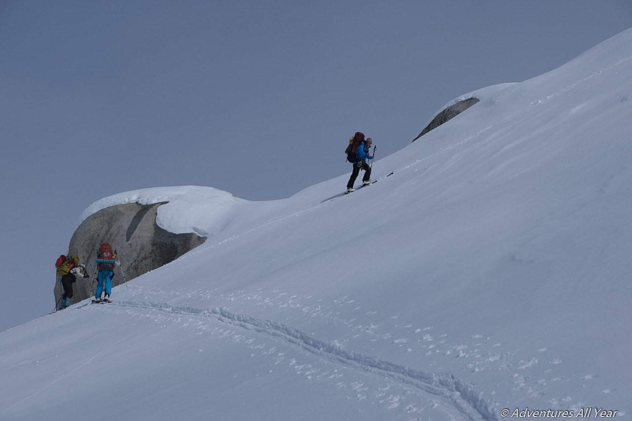
An alternate route continues on the ridge, bypassing the last 2 high points/bumps by dropping slightly into a bowl on the right (if approaching from Dipper Ck) and climbing back up to a broad col between the last two bumps. From this point you should be seeing your way down to Exodus Glacier. It is some 90 m vertical to the glacier on a slope which you can either ski or, depending on the conditions, boot pack down. The slope leading down is quite steep, some sustained 40-45 degrees, and is BAKED in the sun so depending on the time of the day / year it will be either a completely hardened snow, zipper crust or unstable slush. The exposure however is much shorter compared to the gully on the north side as described above and for most part avoidable if sticking to the crest of the ridge.
Departing Exodus Glacier we took the ridge route out, skinning 75% of the slope and boot packing the last 30m. That night, night #4, we camped at the treeline with grand views of Squamish Valley.
Descending into Dipper Creek and Squamish Valley
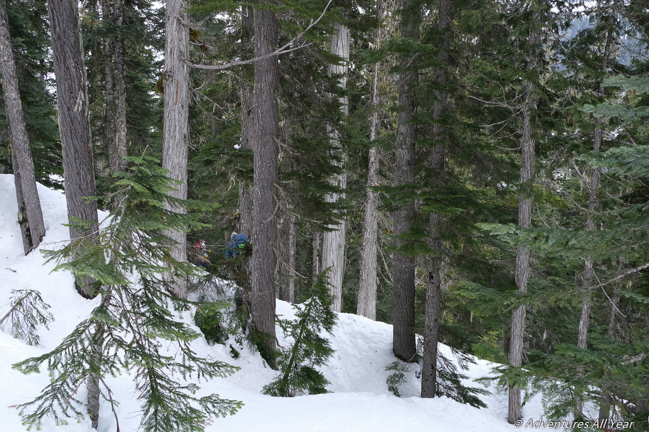
None of us was looking forward to the following day. The way down to the Dipper Creek logging roads leads through some steep dense forest but what was worse the snow was breakable crust at the higher elevation and complete isothermal mess lower down. Still saddled with heavy backpacks we carefully survival-skied our way down but couldn’t really enjoy it.
However, the route we picked this time around was actually a much better than our track from 2018 and in no time (~1.5 hrs from camp, but would be faster without a heavy backpack and in better snow) we were on logging roads cruising down with big grins on our faces. Dipper Creek roads go up for quite a distance (~8 km) so coming into Exodus from that direction a snowmobile would be a definite plus. There was still some 1+ meter of snow on the logging road higher up on Apr 1st but the first 2 km were already mostly bare. When Squamish Main FSR fully melts in 2-3 weeks it might be possible to drive some distance up Dipper Cr and perhaps use this access for summer approaches as well, although without maintenance (brought on by active logging) the road will get covered in mud flow debris quite soon, I’m afraid.
So glad we were able to complete this trip.

Wow this sounds incredible! Glaciers are one of my favorite things to visit but I can’t imagine traversing one (I’m also terrible on skis so there’s that). Nice job!
Thank you. I love being on glaciers too, especially the large mellow coastal ones!