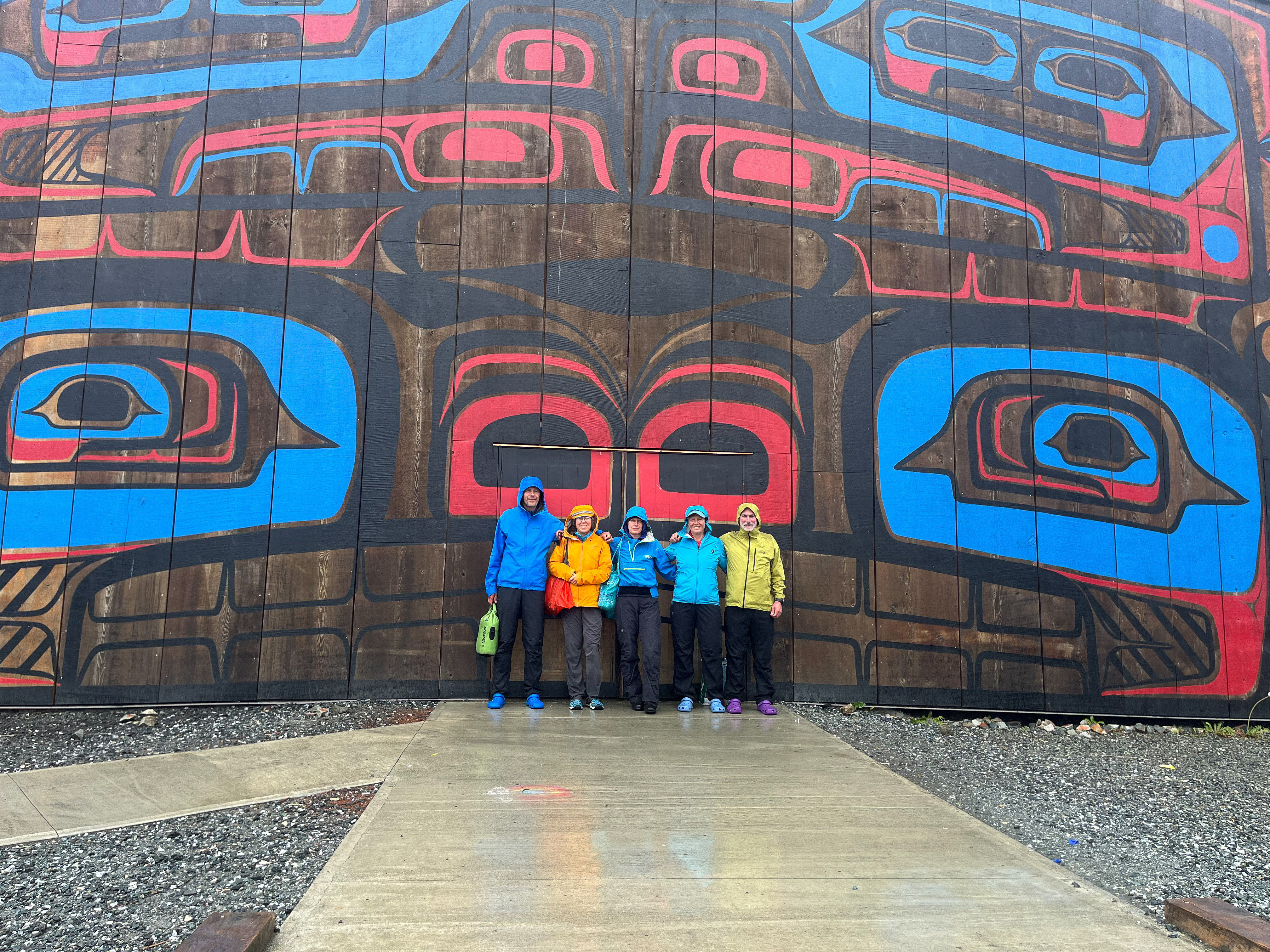
A kayaking trip to Calvert Island has been on my wish list since the first time I saw a photo of Wolf Beach. But it took a couple of years to put together a team and execute on that plan. The reward? A coastal area like I have never seen before! Incredibly rich in life – whales, seals, sea otters, salmon, anemones, shellfish, bears, wolves. Remote sandy beaches. Wild, clean, pristine. The Hakai Lúxvbálís Conservancy totally lived up to its fame.
Logistics
We don’ t own our kayak (wouldn’t fit into our 2-bedroom apartment) so the rental and transport had to be arranged. We have had great experience with Comox Valley Kayaks, from whom we rented a couple of times before. They would even deliver the boats for you to your launch location (for a fee, but so worth it not having to transporting them yourself).
Our starting point was at Port Hardy Ferry Terminal (Bear Cove, to be exact), where we had a reservation for 6am ferry to Bella Bella. You don’t have to bring your car to Bella Bella at all and can leave it at the terminal long term parking for week(s) at $10 per day. BC Ferries on this route are well set up to deal with kayakers and had a wheeled kayak rack ready for us at the parking lot to load before departure. The BC Ferries staff then wheeled the rack onto the ferry for us.
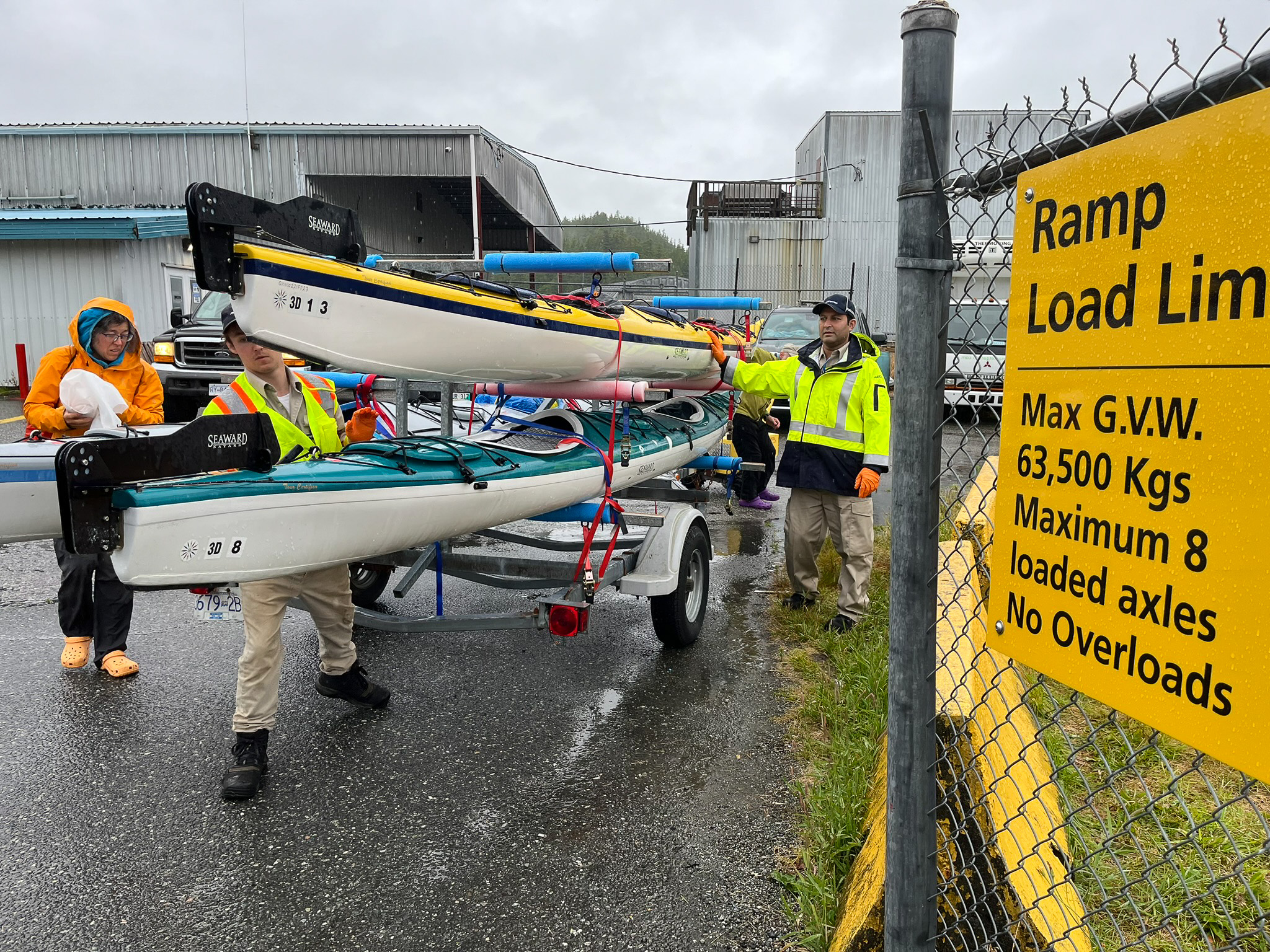
After about 5 1/2 hours the ferry pulls into Bella Bella, its first stop en route to Price Rupert and also where we got off. The kayak rack gets pull out onto the small parking lot in front of the terminal, we take our boats and carry them with many helping hands to a small beach just next to the BC Ferries ramp. The launch point is convenient and eas-iesh.
IMPORTANT: There is no source of fresh water at the terminal (other than a small water cooler inside the terminal, which really is just a converted shipping container). And the town of Bella Bella is 5km by road north from here. So if you are launching straight off from this point, you need to bring all your drinking water for the next 3 days with you onto the ferry. Depending on your itinerary, the smaller outer islands have little to no reliable fresh water. If you are paddling close to the mainland or to the large islands (such as Hunter) you will be OK as there are many running creeks.
The ferry arrives at Bella Bella around 1pm but with all the unloading of the kayaks, carrying, and stuffing them with gear for the next 11 days we were off on the water at 4pm.
Itinerary
This being a trip of a lifetime for most of us (I am secretly hoping to return though) – we wanted to see it ALL. The outer Islands, the intricate inside channels, all the sandy beaches on Calvert Island and then work our way back to Bella Bella via Fitz Hugh Sound. This is not a small itinerary by any means and the weather forecast would be the ultimate decision-making factor for us.
We had a group of six, some of relatively new to kayaking but all of us with extensive expedition planning experience and determination from doing weeklong trips in the mountains. Still, when deciding about whether to stay or go, and when to go, we were conservative and were always erring on the wide margin of safety. Because no one needs to be freaked out by a large swell going against the wind. So with that preamble I would like to thank Neptune for being reasonable with the weather and to commend our team on impeccable decision making which allowed us to pretty much complete our intended 11-day itinerary as planned.
The total distance traveled was 202km. We had two weather days when we did 0 km. Our route avoided the outer outer islands but weaved a nice loop though the mid-islands. There are many variations to this loop.
Travel Advisories
Swell
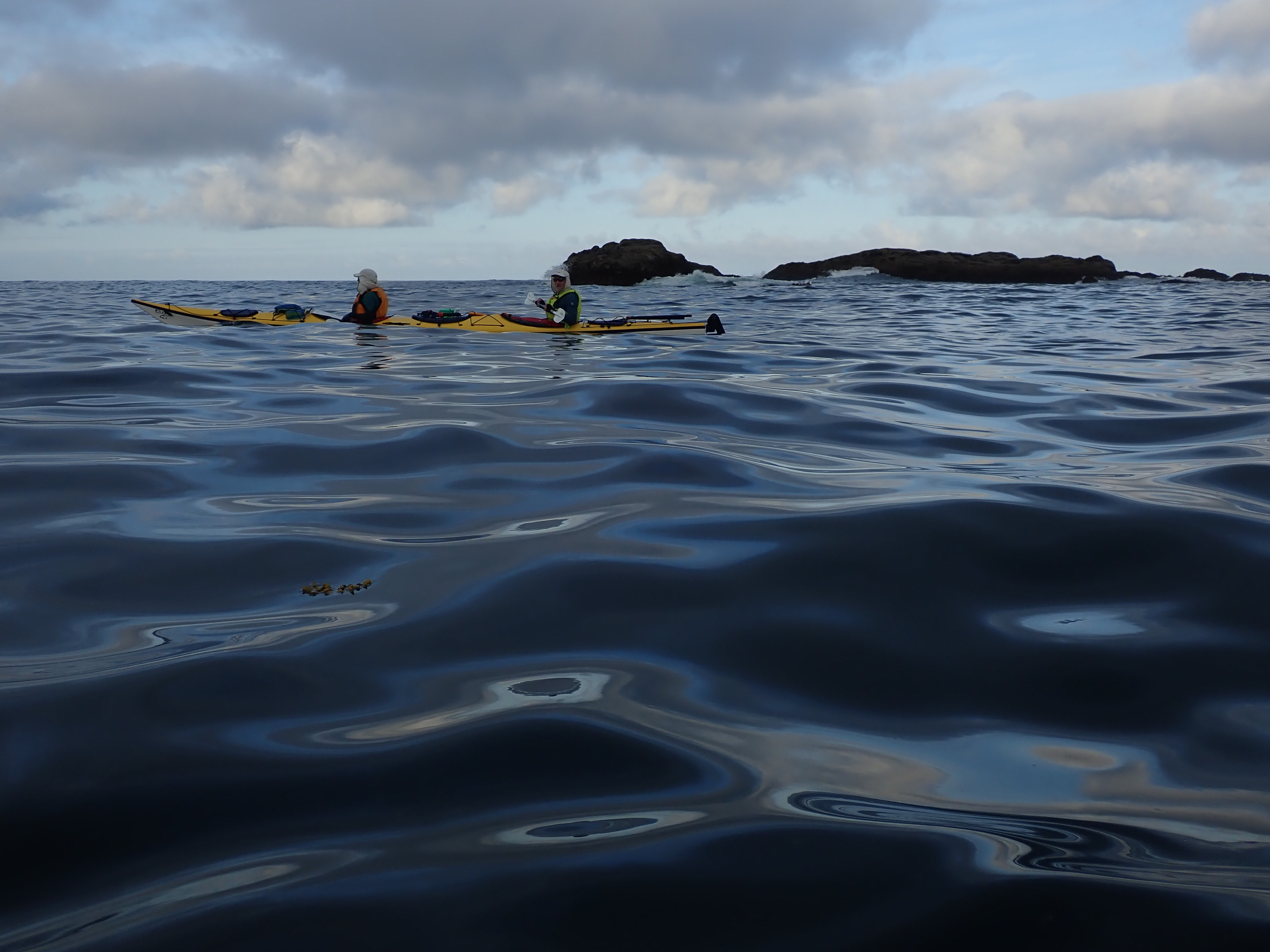
You are mostly likely to encounter swell at the outer islands such as McMullins or Goose group. Traveling through the inner islands (McNaughton Group and on the inside passages such as Sans Peur) we had none. We had some dispersed swell in the Kildit Sound. But the severity always depends on other factors such as wind direction and the weather systems offshore.
Excpect swell in Hakai Passage. It’s a very open channel exposed to weather from the west. The rolling waves can build really large and will be made worse by an outdoing ebb tide which can reach up to 4kn (ebbs west so will work against the incoming waves, making them steeper). The key here is to time your crossing for slack tide and, ideally, go for an early morning crossing before the NW wind picks up.
Currents
There is surprising current that can be felt in all the passages on Central Coast, including a noticeable current in Fitz Hugh Sound (felt like 1.5kn to me, but again – kind of surprising considering that Fitz Hugh Sound is 6-10km wide). Not to the point that it overtakes your boat (and never turbulent) but if you can time it then why work against it?
A notable exception is getting in and out of lagoons . They are kind of a signature feature of this coast: a narrow channel connects open water with an inland lagoon. Pay attention to when the flood changes to ebb because those narrow channels leading to the lagoon become either a piece of dry land or a vibrant waterfall. Time your visit well.
Wind
You will have wind 🙂 The prevailing are north-westerlies but that can change to SE with incoming rainy weather. Bring a VHF radio, act accordingly. Generally, we try to avoid paddling in very windy conditions (>15kn) as it is utterly unpleasant. We have been able to avoid it by waking up early and paddling at 7am.
Crux points
- Crossing the Hakai Passage – see my notes above under Currents
- Rounding the Superstition Point – see my notes under Day 4: Soulsby Camp to Red Sand Beach
Campsites
There is adequate number of well dispersed campsites across the area – look at my map above in detail, it shows where we camped but also shows some additional options for camping. There are more. Most have excellent landing beach, mostly sand or small gravel.
Some are VERY small – like OK to fit 2 small tents, challenging to find spot for a 3rd one and impossible to find a spot for a fourth. Those are (out of those that we visited): Potts Island west, Edmund Point Islets, Kwakume Point.
Also caution around the following ones (that I noted when planning this trip): Milne Island floods at tides above 4.5m; Pott Island west is not easy to spot from the kayak, you need to get out and get into the forest to see the 3 small tent sites; Edmund Point Islets will barely fit 2 tents at tides of more than 4.7m.
Stunning campsites (not that they need more advertising): Soulsby Camp, Serpent Island. They are mid-size campsite but will feel crowded if you are unlucky and travel along the same itinerary as a commercial group.
Drinking water
Non-existent on the outer coast – you need to bring all your drinking water with you. The natural creeks on bigger islands can run dry in the peak of summer and there are no running creeks past Potts Island heading towards the outer coast (approx.). There are some bodies of water inland but while the water is fresh (as in non-salty), it is brown with plant tannins.
Wildlife
Wildlife was definitely one of the highlights of this trip. We have seen families of sea otters 100-150 members strong, we have bumped into seals sleeping in the water with their bums up on the surface and head down (that’s how they nap!), we saw wolf prints on every single beach on Calvert Island and we had fish jump out of the water and literally land in our lap. We had daily humpback sightings in Fitz Hugh Sound, several at a close range (less than 30 m). I so wish this place remains this way forever.
Our trip
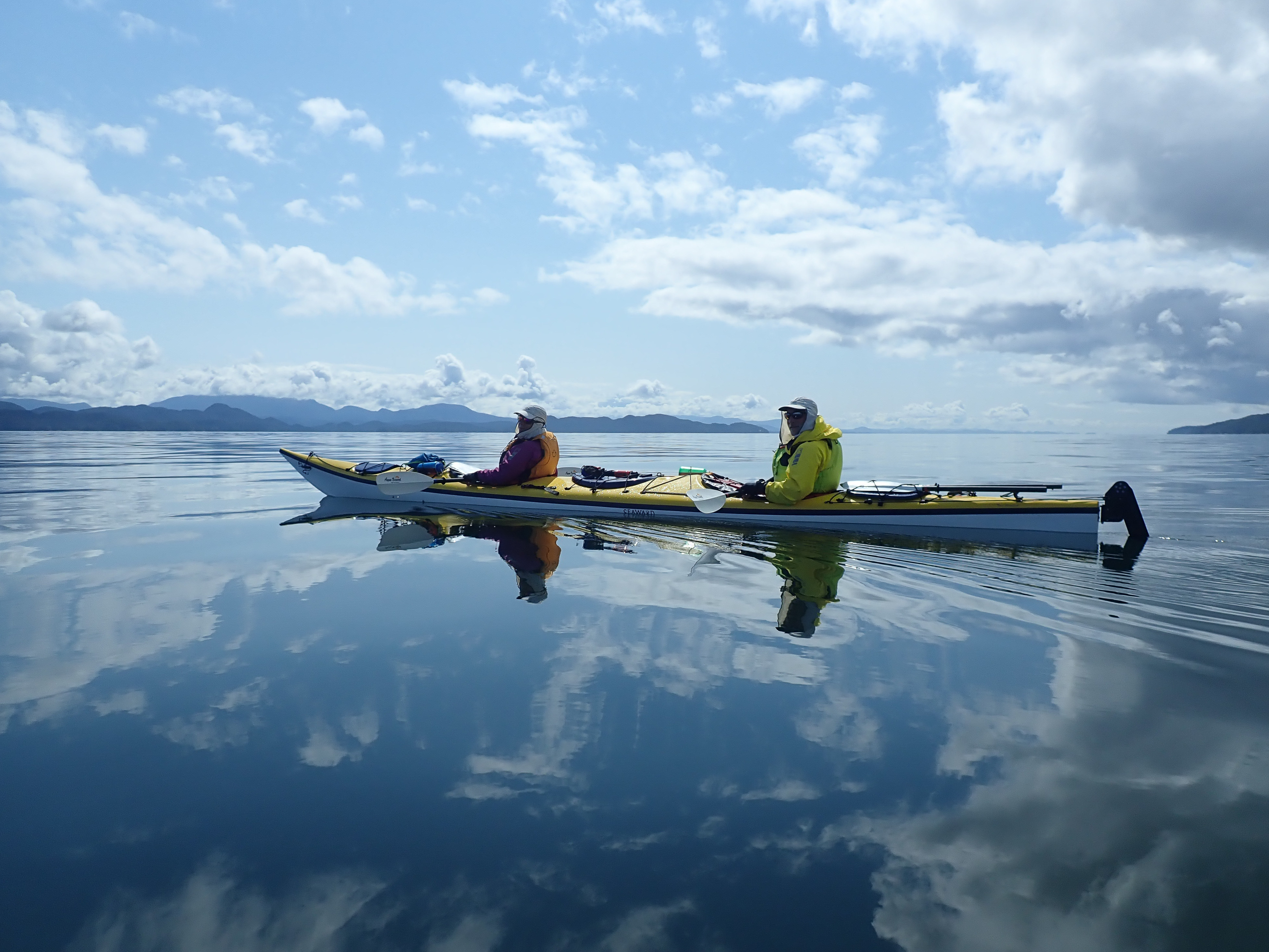
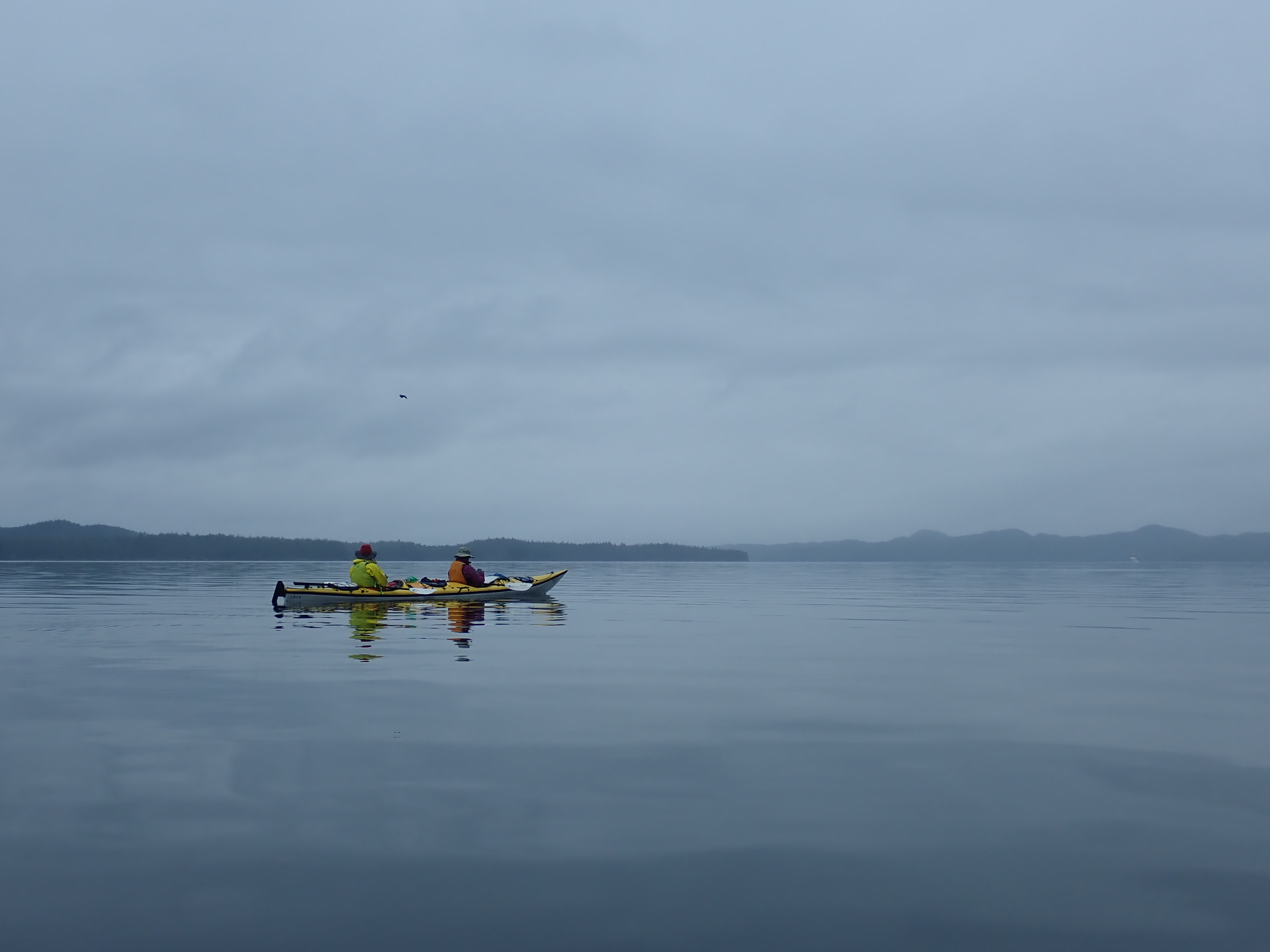
Below is a visual journey through our trip day by day just to give you an idea of what the places look like. Read the photo captions as I am posting a pic of each of our camps as well as a couple of other memorable locations.
Day 1: Bella Bella to Odin Cove
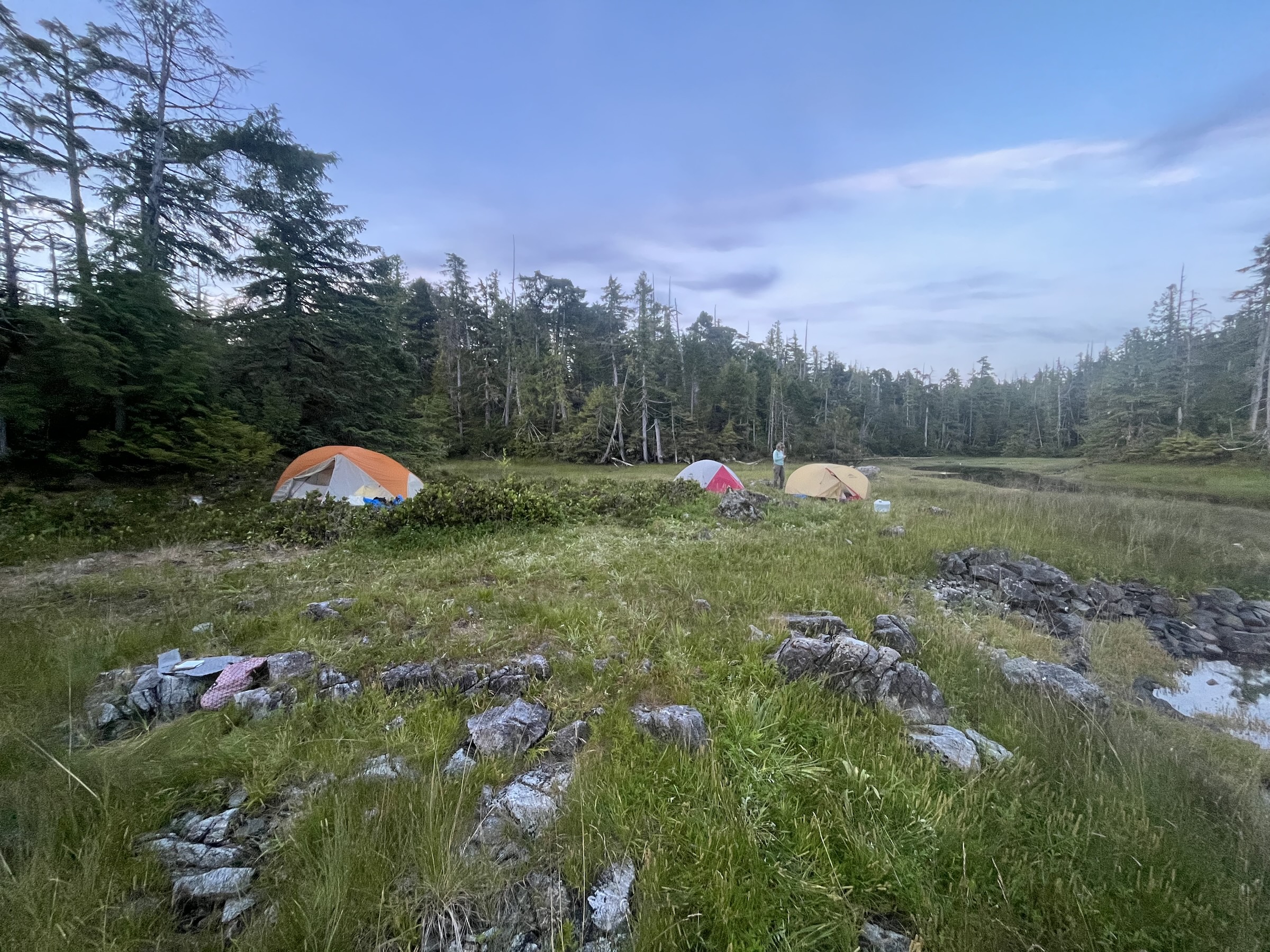
First day out of Bella Bella, heading north. Past Dryad Point lighthouse and west into Seaforth Channel. Lots of wind. The channel is lined up perfectly in the NW direction so funnels a lot of northwesterly wind deep into the channel. Camping at the head of Odin Cove which drains extensively at low tide Choose your camp at high land, bring the boats up and tie them off diligently.

Day 2: Odin Cove to Potts Island west
Good paddling day. We followed Joassa Passage which is quite narrow but makes for a good sightseeing. Stopped at Quinoot Point for lunch, a good campsite for a large group. The point is home to a cabin that is now quite dilapidated but was used by the local First Nation.
We continue south and camp at Potts Island west. We had to canvass with fine comb to find the spot but if you look at my map, the marker for Camp 2 is exactly in the spot where there are a couple of clearings in the upland forest for 2-3 small tents. The beach floods extensively. At tides less than 4.3m you will be able to fit 1 additional tent at the gravelly head of this small cove.


Day 3: Potts Island west to Soulsby Camp
From Potts Island many groups head to McMullin Group for the famous sandy beaches. But we did have some concerns about being able to complete our itinerary within the allotted time. Visiting Calvert Island was the main focus and we didn’t want to whittle our time (and weather) away by being lured into McMullins. So we decided to start heading towards McNaughton Group.
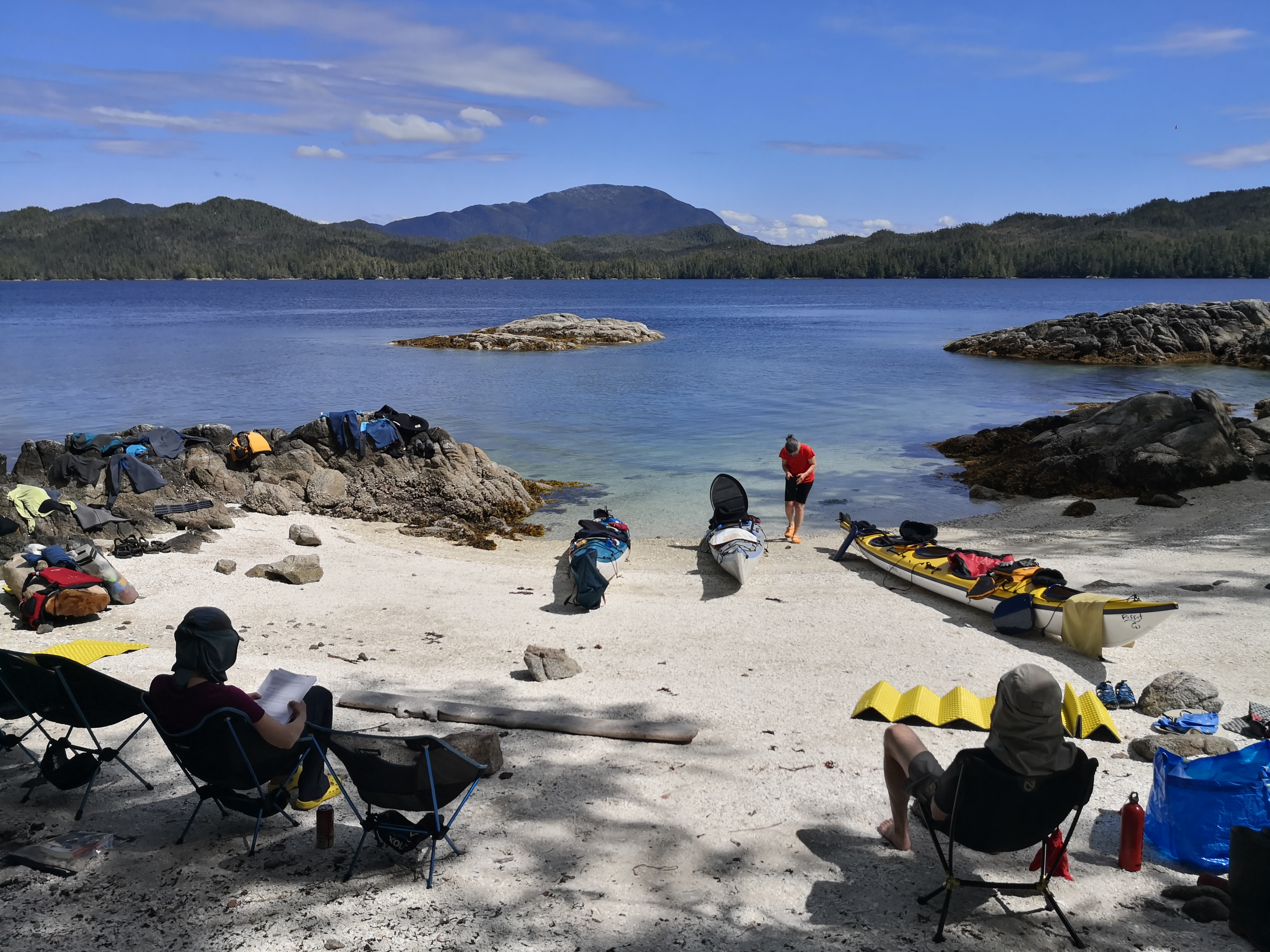
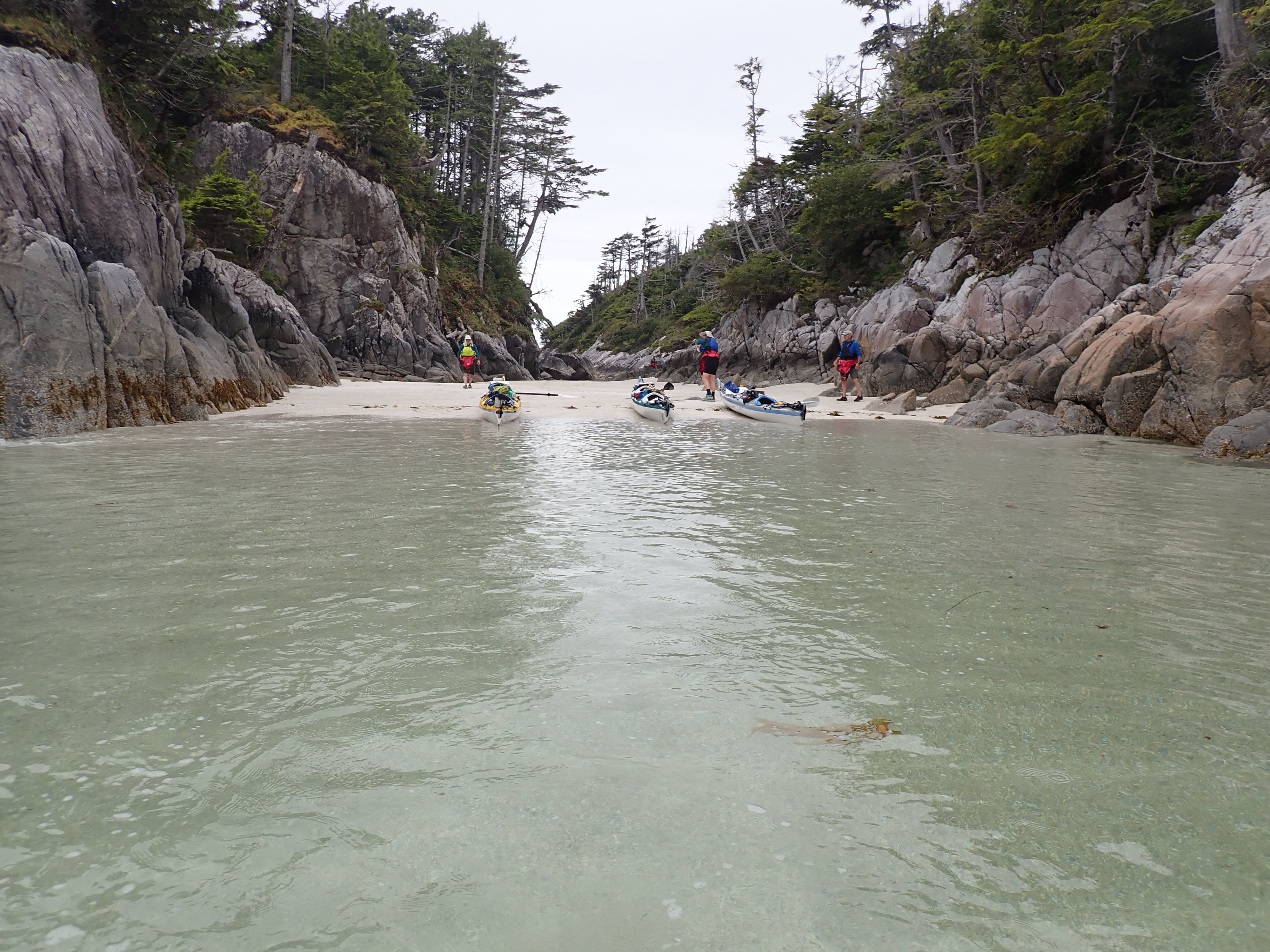
Camped at Soulsby Camp on night 3 which is a fantastic white shell beach with turquoise waters and a tropical feel.
Day 4: Soulsby Camp to Red Sand Beach
Good day kayaking through inner channels, protected from the weather on the outer coast.
Reached “Red Sand” beach which is a nice large expanse of reddish sand, giving it its name, and the last stop before we need to round Superstition Point tomorrow morning.

Do not underestimate Superstition Point. The rocks around the point look ominous by themselves. The waves here hit rocky coast and bounce off and the seas are confused with waves coming from any direction. It can get really rough. Travel through it very early in the morning on a non-windy day if you want to avoid a flush of adrenalin.
Day 5: Red Sand Beach to Serpent Islands
A group of islands (Lyle Group) still separating us from the open water but behind Triquet Island – nothing but a wide open space and Japan.
Appropos Triquet Island: In 2017 scientists from Victoria University uncovered an archeological evidence of human occupation on Triquet Island dating back 13,000 to 14,000 years (!). Needless to say, the island is no longer to be camped on (unless you are in dire straights) and the dig site is quite well covered up so unless you know exactly where to look you won’t find anything.

Past Triquet Island you enter Kildit Sound where, for the first time if you traveled via inner channels, you might experience some swell. Nothing big, it disperses quite well.
Our next camp was at Serpent Island. A narrow cove with a white shell beach tucked at the end and so well hidden that you MUST approach from the northwest if you want to find it. But once you do – we will find yourself in a BBC documentary.
Day 6: Crossing Hakai Passage
A big day today. We need to cross the 6 km of Hakai Passage. Quite a commitment and we are in a hurry because we are trying to time the 1. wind and 2. current (aiming to cross around 10am for slack tide).
It means an early morning departure from our secret beach on Serpent Island. We are taking a bit of a detour to get to the starting point for the crossing: instead of bee-lining across Kildit Sound and into the swell we tuck into Nalau Passage and then south into Edward Channel. The move is more psychological than necessary as it adds some distance, but for our crew it is better to cruise the scenic way than be freaked out in 2m swells.
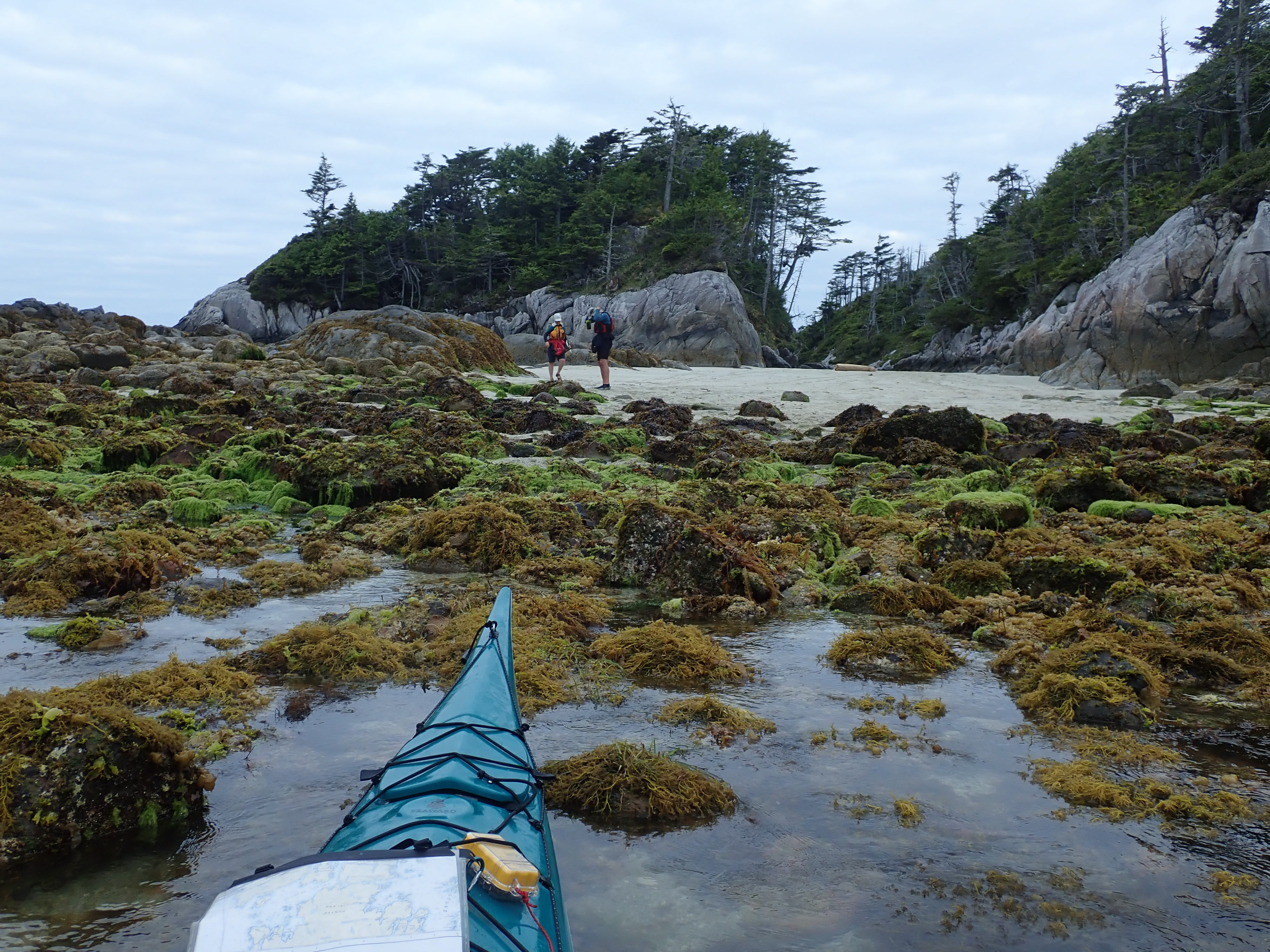
It turned out to be a great move because Edward Passage is AMAZING – I’ve never seen so many anemones literally coating the rocks one on top of another. Quite a sight.
Once we emerge out of Edward Passage we face a group of small islands called Breaker Group which lies in the Hakai Passage proper and serves as a good jump-off point for the remainder of the exposed crossing. I noted a noticeable current around Breaker Group (1kn?), we missed our slack tide and were about 2 hrs behind.

From Breaker Group we visually aim for the opposite coast (aiming for Barney Point) but it is turns out to be quite difficult to maintain that heading as the direction of the waves controls the angle at which we travel so we instead cross at a longer line and end up at Donald Island. A very good crossing, all things considered.
Day 6-8: Calvert Island
Woow! We have made it to the fabled Calvert Island. It sometime amazes me that what was once just an idea (“must visit Calvert Island one day!”) becomes a reality. Loving life.
The sandy beaches of Calvert Island truly are amazing. So much white sand, so much space. If it wasn’t for the fresh coastal breeze you could think you are in Maui.
From Sandspit Point we have only one place to go – the North Beach and the focal point of this entire expedition.

We chose North Beach over Wolf Beach because it is connected to a system of trails that can take you over headlands to other beaches west from here. It is a 2-3 hour hike definitely worth taking!

There are wolf tracks on EVERY SINGLE BEACH. They are almost as large as my palm. What is even more tantalizing is that they were here less than 6 hours ago, because of the the rising tide has not washed off their tracks yet.
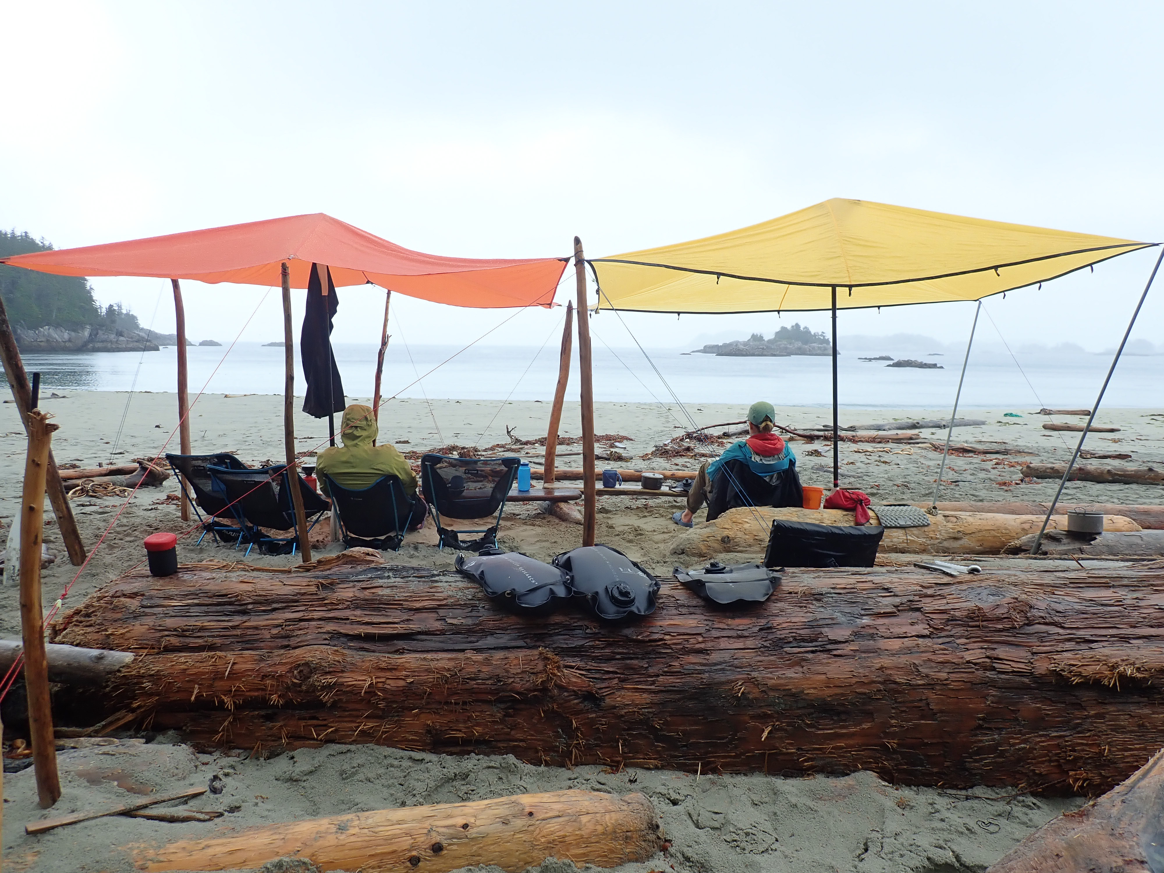
The weather is changing. The wind shifted to the southeast which means some heavy rain incoming. The marine forecast over the radio confirms that so we set up for the wait knowing that we have all the time in the world days to enjoy the spectacular remoteness of this place over the next two days.
Day 9: Kwakshua Channel and Fitz Hugh Sound
Another big day. We need to cover about 20km just to get us to the start of our Fitz Hugh crossing. Leaving North Beach in the morning the seas are still unsettled after the rain and we have to help each other steady the boats in a small surf when getting in. Once under way, we slip around Odlum Point, past Donald Island and into the calm waters of Kwakshua Channel.
Kwakshua Channel is actually the preferred access point for small watercraft to get to Calvert Island, over say Hakai Passage. Just a lot less going on in terms of wind, current and waves. So we follow it out, a long straight channel leading us out to Fitz Hugh Sound. The Sound is a very large body of water, 6km wide here but 10km wide at a point just north from here. It drains extensive network of fjords cutting deep into the mainland. Used by BC Ferries, tug boats and other large vessels as the main artery on their way up and down a coast. And it can be a very exposed place when windy. Not on this day, we were SUPER lucky that during our crossing the Sound was like a mirror, not a ripple, quite an incredible sight, actually. I had to stop paddling for a few minutes in the middle of it, just to take it all in. A beautiful, beautiful place.
Once on the other side we were ready to camp, It’s been a long day. However, campsites were not plentiful and our only real option was 700m south of Kwakume lighthouse. We had to make do setting camp on a rocky ledge, barely flat enough for 3 tents.
As a reward though, we were treated to a wonderful sunset and a duo of humpback whales feeding off the shore and sending spouts of water into the shimmering evening light.

Day 10: Kwakume Point to Namu
We are now heading north at a steady pace, it is still some 60km back to Bella Bella and we need to cover that distance in the next 2.5 days. Staying on the east side of Fitz Hugh Sounds we follow the coastline closely. I am, again, surprised how strong the current is here. Unfortunately, today we work against it and, man, I am so much more tired than other days. Today’s 25km feels like 35.
On our way to the next camp location we swing by Namu, the site of a former cannery and a thriving coastal town that has been laying abandoned since the 1990’s and is now just a collection of buildings that pose a safety hazard.

That night we set camp amongst small islets off Edmund Point, just where Burke Channel (leads up to Bella Coola) turns east and away from Fitz Hugh. We spend a good hour looking for where exactly the campsite is because the islets are so small that there is certainly no way we can all fit here. We eventually settle on a small shell tombolo between two islets but is is so tiny that we are having tough time fitting the tents PLUS the boats onto the small neck of dry land. Our challenge was that at the time when we were there the moon cycle was such that we were still having 4.5m tides at night and that eliminated a lot of the usable space. But what we had available to us was super picturesque.
A bonus was that as I was brushing my teeth that evening a single humpback whale nonchalantly swam by just meters from where I was standing.

Day 11: Edmund Point to Lama Passage
Today we are crossing Fitz Hugh sound again, back to the west side. As it is a channel busy with large vessel traffic I made a courtesy call on the VHF radio to Prince Rupert Control centre to let them know we will be crossing shipping lanes so that they can let BC Ferries know 🙂
The paddle on the west coast is pleasant with going through Clayton Islands as a highlight. We see more humpback whales. They are utterly undisturbed by us and keep feeding, diving, spouting, just 50m in front of us. Then they graciously dive and re-emerge with a loud exhale behind us. It is such a blessed place.
We are trying to get to Pointer Island for the night ’cause we know people have camped there before but are unable to find a suitable spot to land and haul the gear & kayaks out. So we are forced to press on into Lama Passage not exactly sure where our next camp might be.
I knew of a spot tucked behind navigation light at Serpent Point. I wasn’t sure what we were going to find there but it was getting late in the day and we needed to get out and warmed up. It turned out to be a great spot to take us in for the night. However, I have never seen so much bear poop in one place in my life. Needless to say, all six of us spent spent the majority of the evening designing and implementing impeccable bear hangs 🙂

Day 12: Lama Passage to McLoughlin Bay
That’s it, folks, our last day on the water. In fact – we MUST make it to McLaughlin Bay today because our ferry leaves at 4pm. We were already quite close and only needed to do 2 hours of paddling that morning.
The last day of any trip is always special. Everyone is a little bit more quiet, reflecting on the past 11 days, etching the highlights into memory. I certainly do.
And Hakai Lúxvbálís was a very special place to travel through.

The End